


Real-time Seismic Transmission
Overview
Netar’s Real-time Seismic Transmission solution transforms subsurface data workflows by enabling instant, reliable and high-bandwidth transmission of seismic readings from field sensors to central processing centers.
Powered by Private 5G, edge computing, and AI-driven compression algorithms, it ensures that every vibration, pressure change, or seismic event is captured, transmitted and analyzed within seconds, even from remote and challenging exploration sites.
This leads to faster decision-making, better drilling accuracy, and safer operations across upstream environments.
Core Capabilities
High-Speed Data Transmission
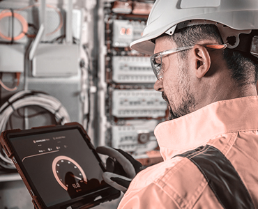
Facilitates seamless and reliable communication of massive seismic datasets.
- Real-time transfer of high-volume seismic and geophysical data
- Ultra-low latency enabled by Private 5G and edge gateways
- Adaptive bandwidth management for fluctuating field conditions
- Supports both continuous and event-triggered data streams
Edge Data Processing
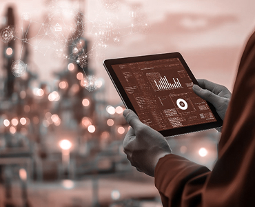
Optimizes seismic data quality before transmission to central servers.
- On-site data preprocessing, filtering, and compression
- AI models eliminate redundant signals and enhance waveform clarity
- Real-time error correction for transmission integrity
- Reduces backhaul bandwidth usage without data loss
Sensor Network Integration

Connects multiple seismic nodes and sensors across exploration fields.
- Integration of geophones, hydrophones, and accelerometers
- Wireless synchronization and time-stamping of seismic events
- Configurable mesh networks for remote or offshore deployment
- Supports rugged and explosion-proof devices for harsh environments
Integration Ecosystem
- Integrates with Drones for aerial mapping and topographic correlation
- Connects to Remote Monitoring systems for centralized visibility
- Works with Fleet Management for coordination of seismic survey vehicles
- Seamless data relay through Private 5G Network infrastructure
Operational Advantages

Reduces seismic data acquisition-to-decision cycle from days to minutes

Improves exploration accuracy through faster, cleaner data access

Minimizes data loss in remote or high-interference zones

Enhances safety through early detection of subsurface instability